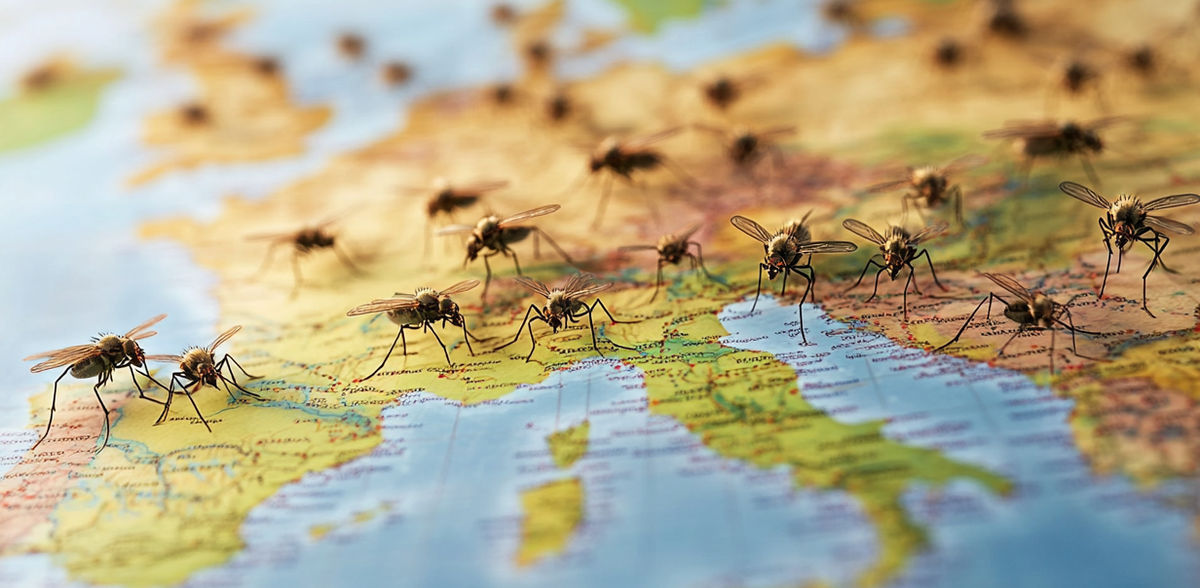
Improved prognosis of malaria spread
Advertisement
An international research team involving geographers from the University of Augsburg has combined models from climate and water research and malaria transmission. In the journal "Water Resources Research", they show that both the climatic conditions for the mosquito population and the intensity of the malaria spread itself can be predicted. This allows the effects of climate change on the dangerous disease to be determined at an early stage and better predictions to be made in the long term.
Malaria is an extremely deadly infectious disease that is mainly found in the tropics and subtropics. It is caused by single-celled parasites that are transmitted by the bite of the female Anopheles mosquito. Around 40 % of the world's population lives in malaria-endemic areas. Global warming is also changing the spread of the disease, as temperature and water areas influence the number of mosquitoes that transmit malaria.
In a new study, an international research team combines a climate and weather model with a malaria spread model. The researchers are using the weather model to describe the entire processes in the atmosphere and on the land surface, including the interaction between the two. Augsburg climate researcher Prof. Dr. Harald Kunstmann gives an example: "The model calculates the temperature, when it rains and how much, and where water then accumulates - in bodies of water and on the ground. The model shows when and where larger areas of water form," says Kunstmann. "We achieve an accuracy of one square kilometer."
The model for the spread of malaria originates from medical research: under what conditions do the mosquitoes, larvae and eggs develop? What does the transmission pattern in human blood look like? Ultimately, the model provides information on the development of larval density, mosquito numbers and malaria cases in an area.
"Climate and water research come together with medicine," says Prof. Dr. Harald Kunstmann, who is also Director of the Center for Climate Resilience, describing what is special about the study. "We asked ourselves how well we could use the models to predict the health services data recorded in reality. For past climate and health data for Burkina Faso in West Africa, the new combined model could be tested very accurately and replicate the malaria spread accurately."
The next step is to run the model system in predictive mode and for other regions. This means that the research now offers the possibility of predicting the malaria risk in an area weeks and months in advance, enabling the healthcare system to take measures at an early stage. "Our 'glasses' are very sharp," says Kunstmann. "Resolving the terrain and landscape in such detail at a high spatial resolution is very important, as temperatures change more quickly in the mountains than in the valley, for example, and water bodies such as ponds play a major role."
The results of the study offer valuable insights and methodological approaches that are of great importance not only for science, but also for political decision-makers and health organizations. The improved modeling techniques could help to develop and implement more targeted and effective measures to combat and control malaria.
Looking to the future, the continuous refinement of the models and the integration of further environmental data is crucial. The scientists from 6 countries emphasize the need to also improve the quality of epidemiological data in order to make even more accurate predictions. These efforts are crucial to achieving the goal of eliminating malaria by 2030.
Note: This article has been translated using a computer system without human intervention. LUMITOS offers these automatic translations to present a wider range of current news. Since this article has been translated with automatic translation, it is possible that it contains errors in vocabulary, syntax or grammar. The original article in German can be found here.
Original publication
Mame Diarra Bousso Dieng, Adrian M. Tompkins, Joël Arnault, Ali Sié, Benjamin Fersch, Patrick Laux, Maximilian Schwarz, Pascal Zabré, Stephen Munga, Sammy Khagayi, Ibrahima Diouf, Harald Kunstmann; "Process‐Based Atmosphere‐Hydrology‐Malaria Modeling: Performance for Spatio‐Temporal Malaria Transmission Dynamics in Sub‐Saharan Africa"; Water Resources Research, Volume 60, 2024-6-24


